


Our experienced team of scientists and analysts deploy every technology to support planning, design, and regulatory compliance for local, federal, institutional, and commercial clients.
Geospatial & GIS
Digital maps, relational databases, and spatial analysis tools are used to deliver services that enable our customers to visualize and understand complex issues.
Our experienced team of scientists and analysts deploy every technology to support planning, design, and regulatory compliance for local, federal, institutional, and commercial clients.
CEG has invested in technology to provide a safer, streamlined, and all-encompassing approach to projects.
THE POWER OF PLACE
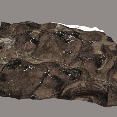
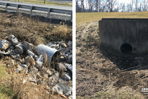
Issues and events that affect communities happen in places. We use Geographical Information Systems (GIS) to display mission critical data, such as roads, stormwater infrastructure, and other physical assets in concert with natural resource data. This allows our customers to see how issues affect their community and visualize impacts of alternative solutions.
SUPPORTING THE BUSINESS OF GOVERNMENT
Our GIS experts are applying GIS technology to support environmental issues, inventory critical infrastructure, design sustainable development projects, and effectively engage citizens. We use GIS to analyze many different types of data simultaneously to determine trends and patterns, perform complex spatial analytics and modeling, and then present information in easy-to-understand products.
TRUSTED EXPERTS
We work collaboratively with our partners and customers to provide the right level of GIS expertise and technology to meet their needs.
Services
- Data Capture & Integration
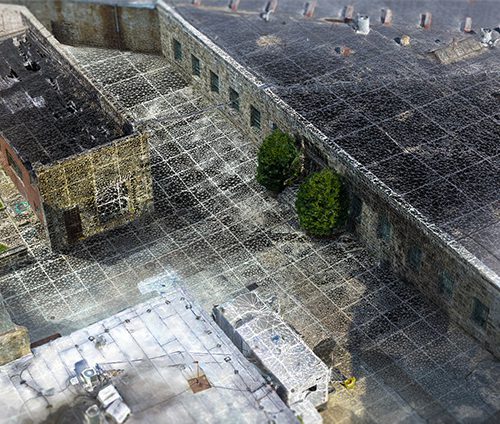
- 3D Modeling/Digital Twins
- Analysis & Modeling
- Support for Mission Programs
- GIS Staff Support & Augmentation
- System Planning & Implementation
- Web Map & Application Development
- Data Capture & Analysis Training
- Geospatial Technologies
- Asset Management
- GIS Integration with 3D Modeling
- Story Maps
- Geospatial Inspection Logs
- On-Call or Subscription Services